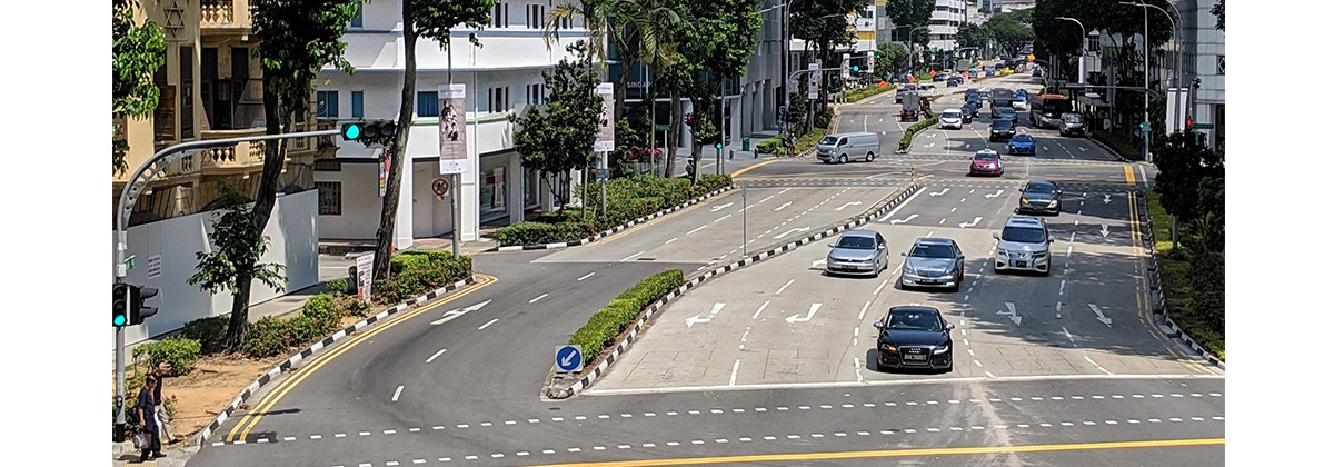
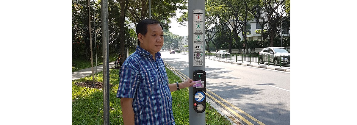
Across the island, over a 160km network of expressways and road tunnels, hundreds of gadgets, sensors and cameras gather data on traffic flow, travelling times and road demand to give you the information that helps you make decisions on how you get to places.
Collectively called the Intelligent Transport Systems (ITS), this web of data collection technologies forms a dynamic, real-time picture of the ebb and flow of a population moving through their daily lives. ITS uses the sensors, traffic and control systems, and data analytics, to maximise road network efficiency capacity, monitor and manage traffic flow, and make our roads safer.
The vision, key strategies and focal areas of ITS is set out in the Smart Mobility 2030 (PDF, 11.6MB) master plan, a roadmap jointly developed by LTA and the Intelligent Transportation Society. The goal of this plan is to meet transport challenges in a systematic and coordinated manner for smarter urban mobility in the future.
Integrated, Real-Time Traffic Information
iTransport
At the heart of all the ITS is the iTransport. All of ITS data is connected to iTransport which is an integrated and unified platform, that which makes sense of the data for traffic monitoring and disseminates the information for incident management in the ITS Operations Control Centre. An intelligent and large scale back-end transportation system, it fully integrates existing ITS while allowing for expansion to include new ones. iTransport also possesses the capability to fuse the collected raw traffic data from the ground sensors and transform them into relevant traffic information to be used for traffic analysis and planning, and to develop a better informed transport policies.
ITS Operations Control Centre (OCC)
Working 24/7 to help maintain smooth traffic, the ITS OCC monitors traffic and manages incidents on our expressways and road tunnels via the i-Transport and various ITS. The OCC deploys ground recovery crew and traffic marshals to assist motorists in distress, and works closely with agencies such as the Singapore Police Force and Singapore Civil Defence Force to recover incidents as quickly as possible.
LTA then shares real-time traffic information with the public to help motorists make informed travel decisions. These include:
- Traffic messages and estimated travel time on expressways displayed on Expressway Monitoring and Advisory System (EMAS) electronic signboards located along the expressways and major arterial roads;
- Traffic information on traffic incidents, road closures, road works, indicative traffic speeds and ERP rates, which motorists can find at
- Webcam images at strategic locations along expressways;
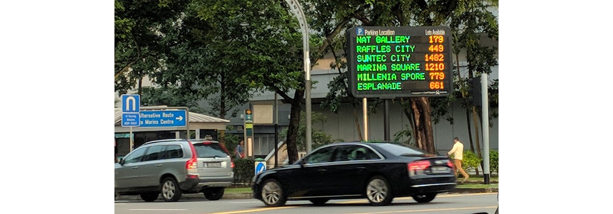
- Parking Guidance System on carpark lot availability for major shopping malls in the Marina Centre, Orchard and HarbourFront areas.
In addition, LTA shares real-time traffic information with the industry at LTA Data Mall.
Find out more about the various systems below.


